  |
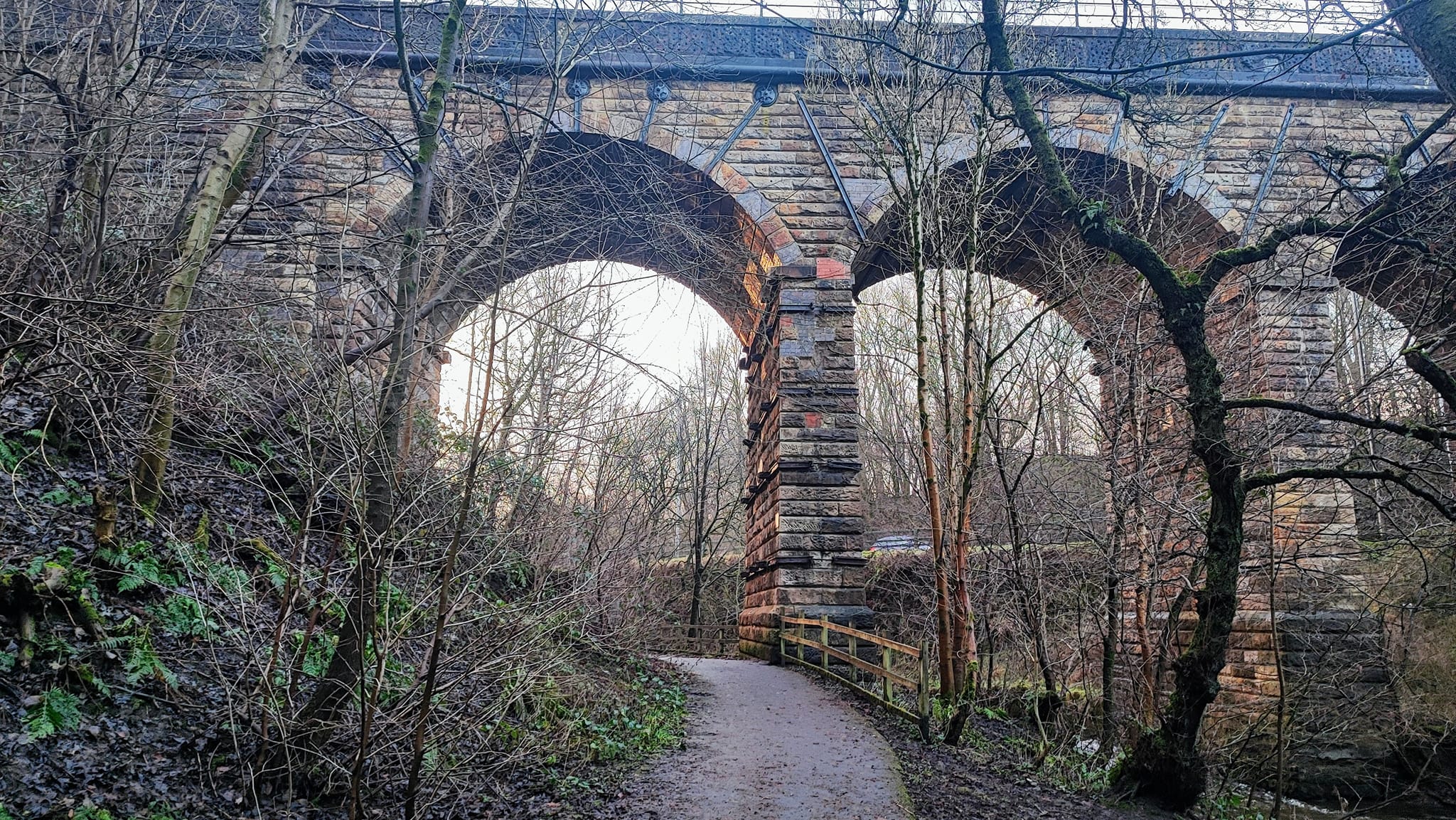
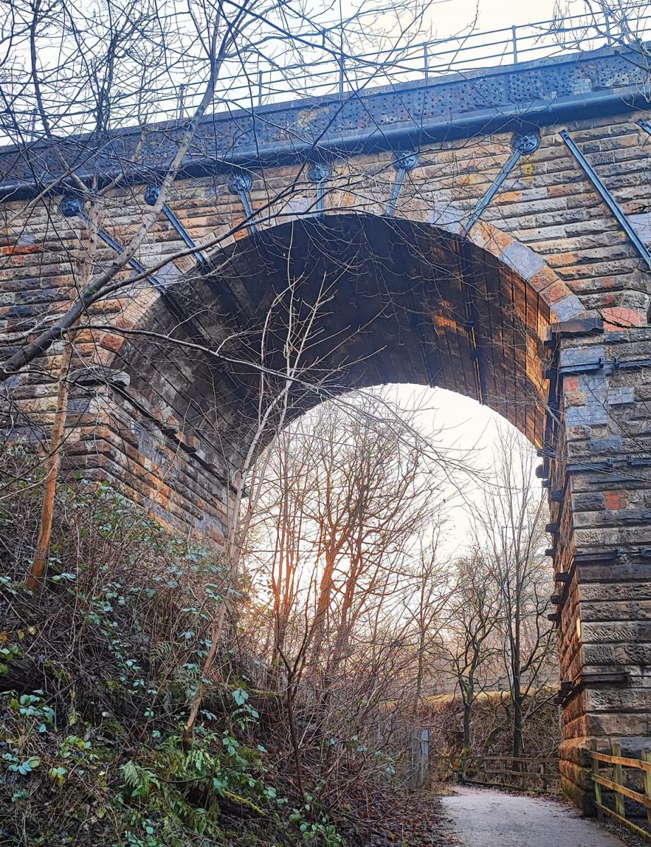
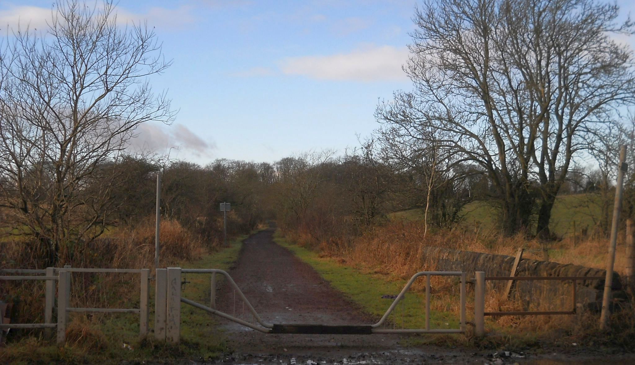
Bearsden & DistrictStrathkelvin Railway Path |
  |
| |
Bearsden & DistrictStrathkelvin Railway Path |
|
 |
 |
 |
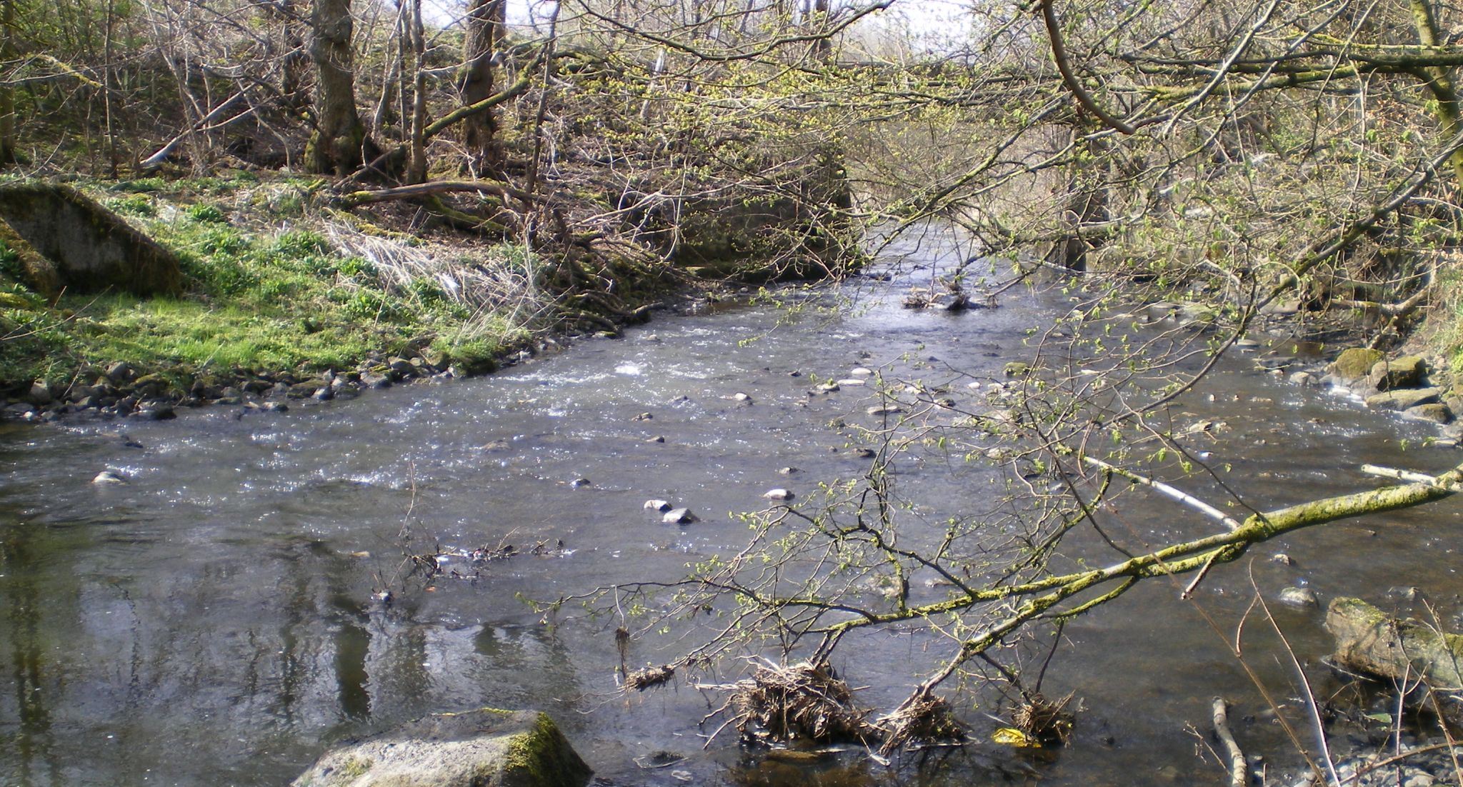 Bothlin Burn
beside the Strathkelvin Railway Path |
 |
 |
 |
 |
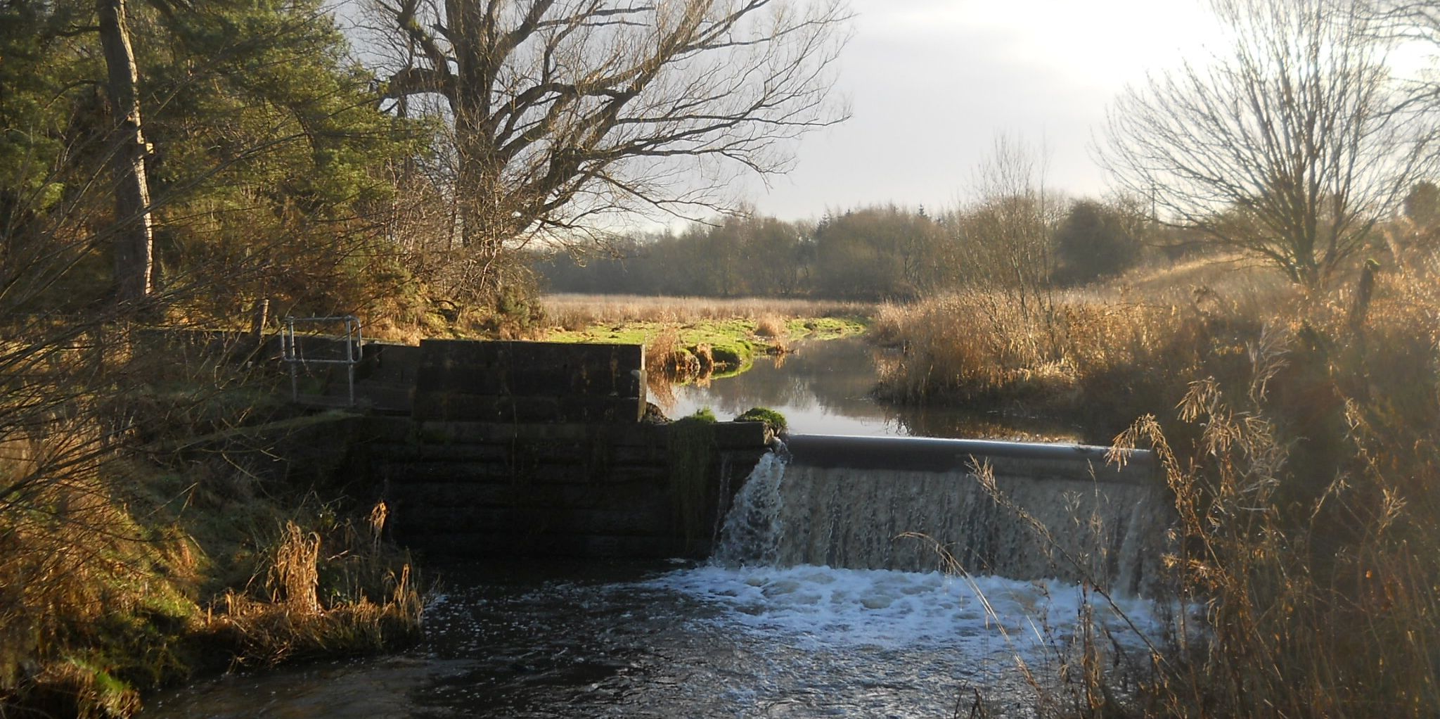 Craigenbay Waterfall
on Bothlin Burn beside the Strathkelvin Railway Path |
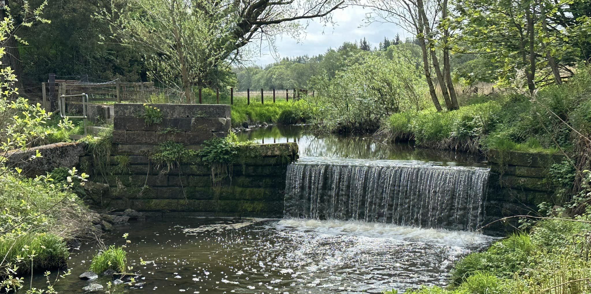 Craigenbay Waterfall
on Bothlin Burn beside the Strathkelvin Railway Path |
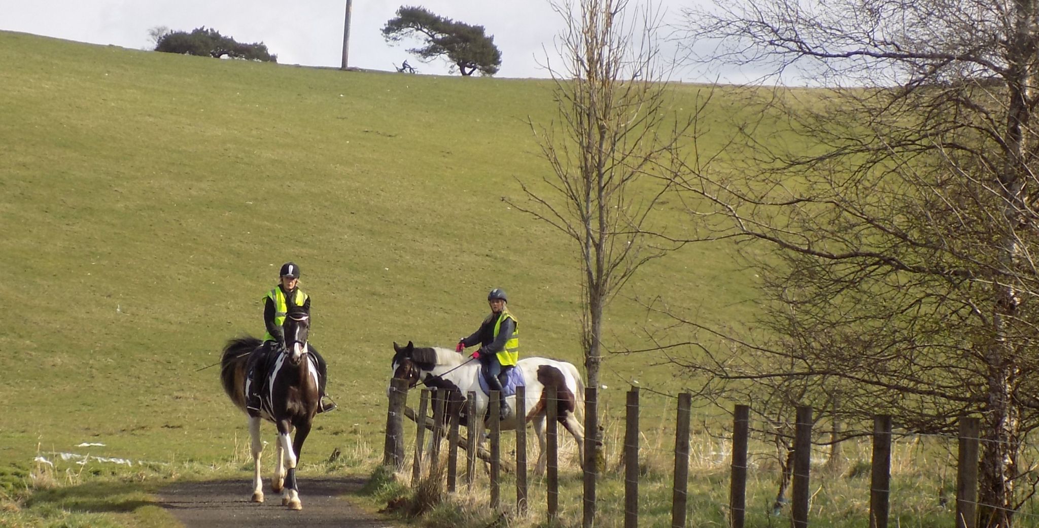 Horse Riders
o the Strathkelvin Railway Path |
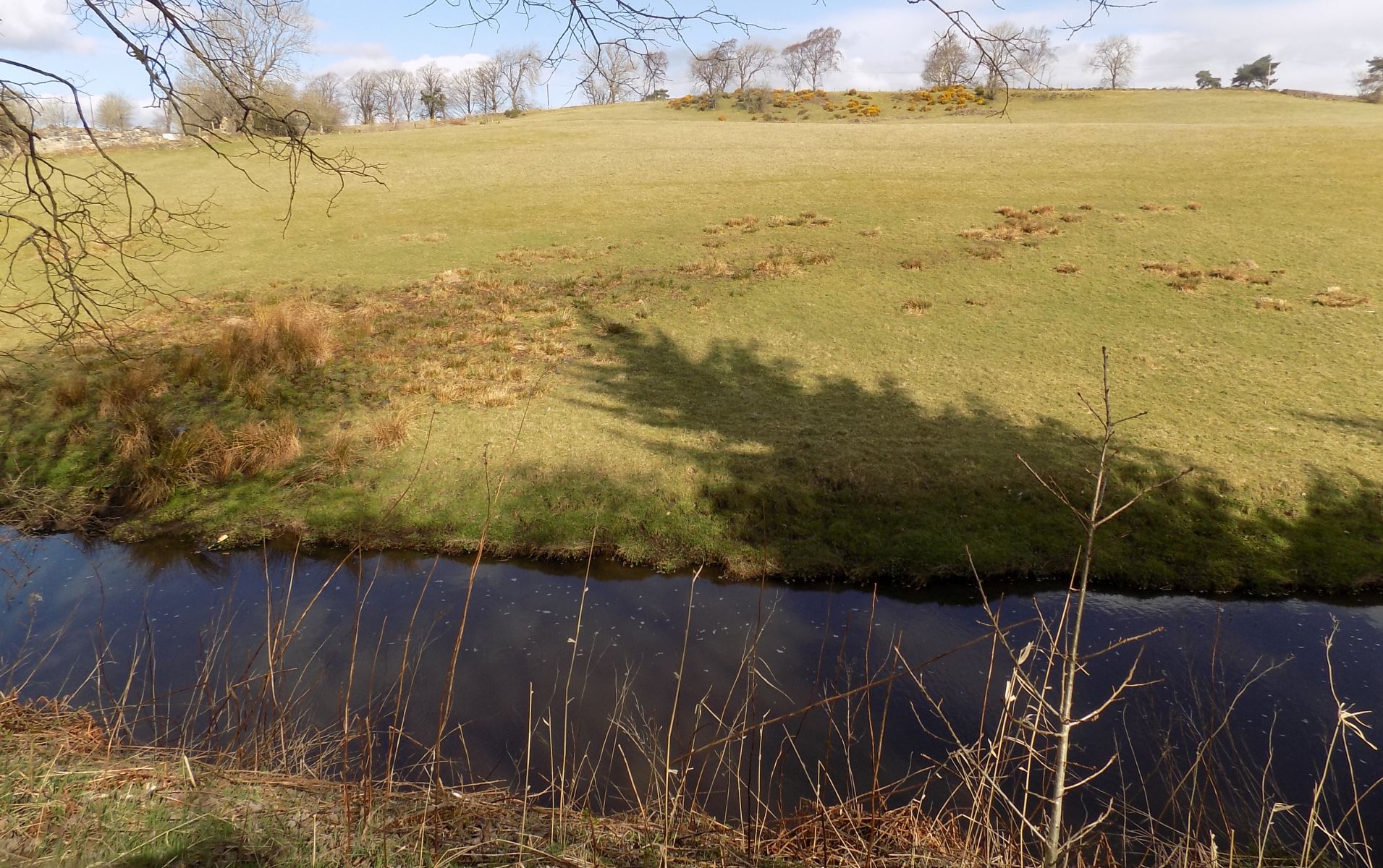 Bothlin Burn
beside the Strathkelvin Railway Path |
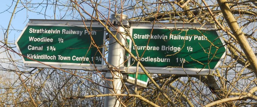 Signpost
on the Strathkelvin Railway Path |
 |
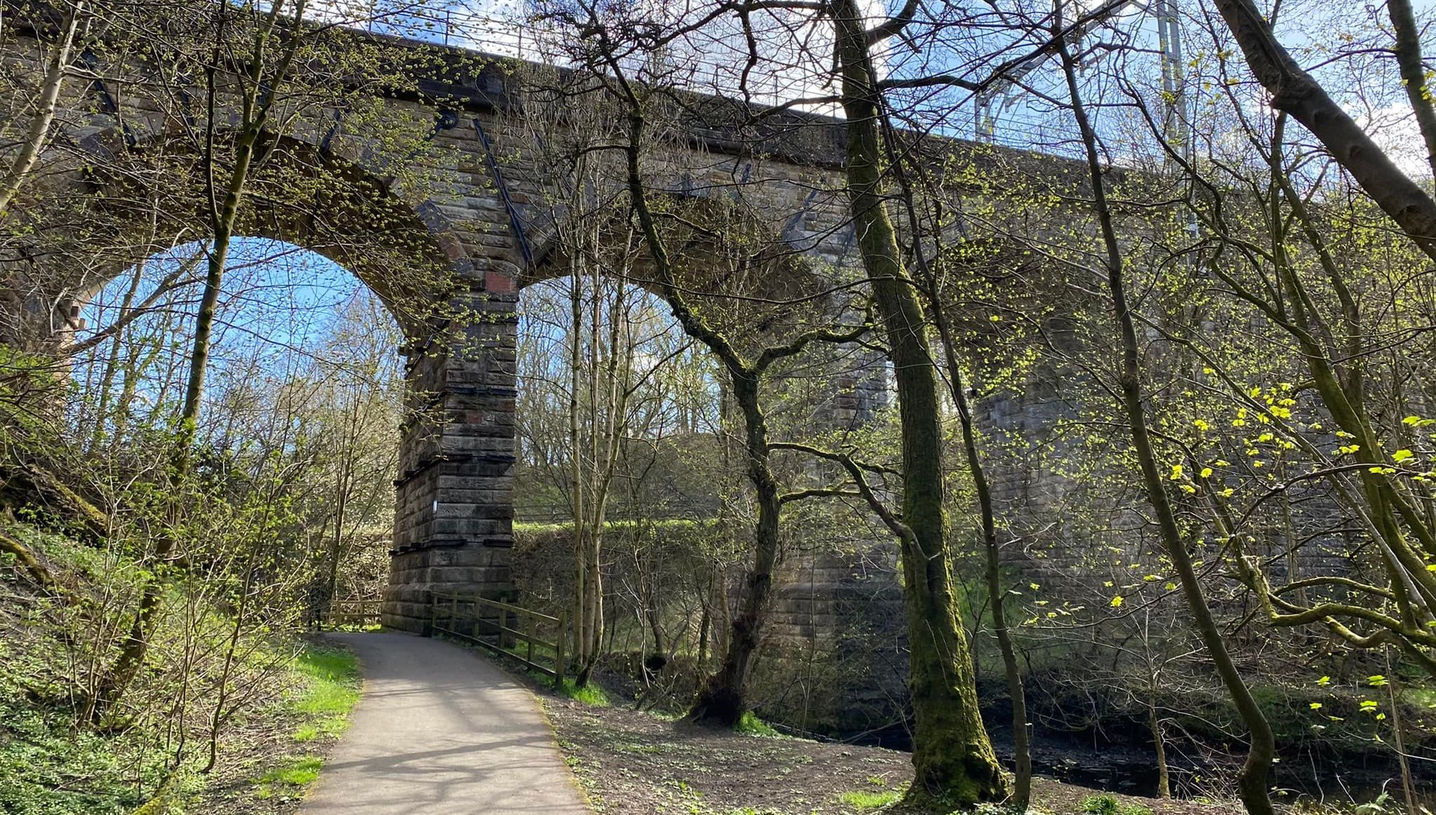
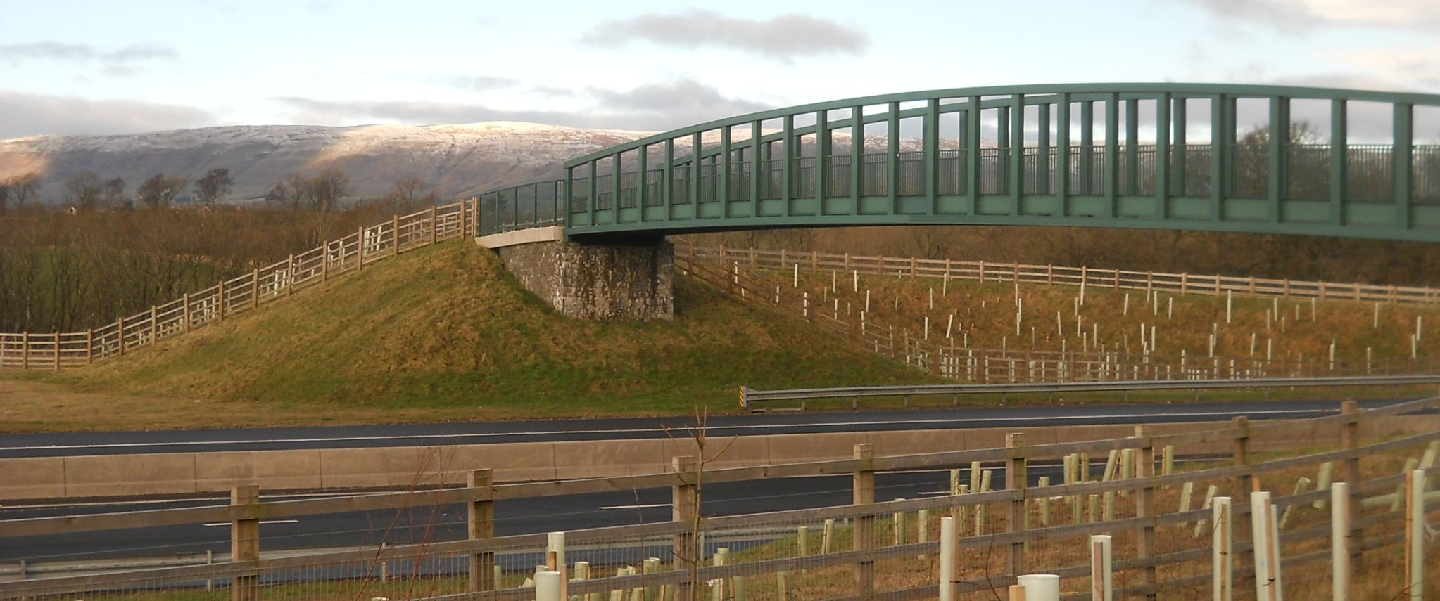
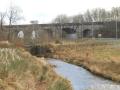
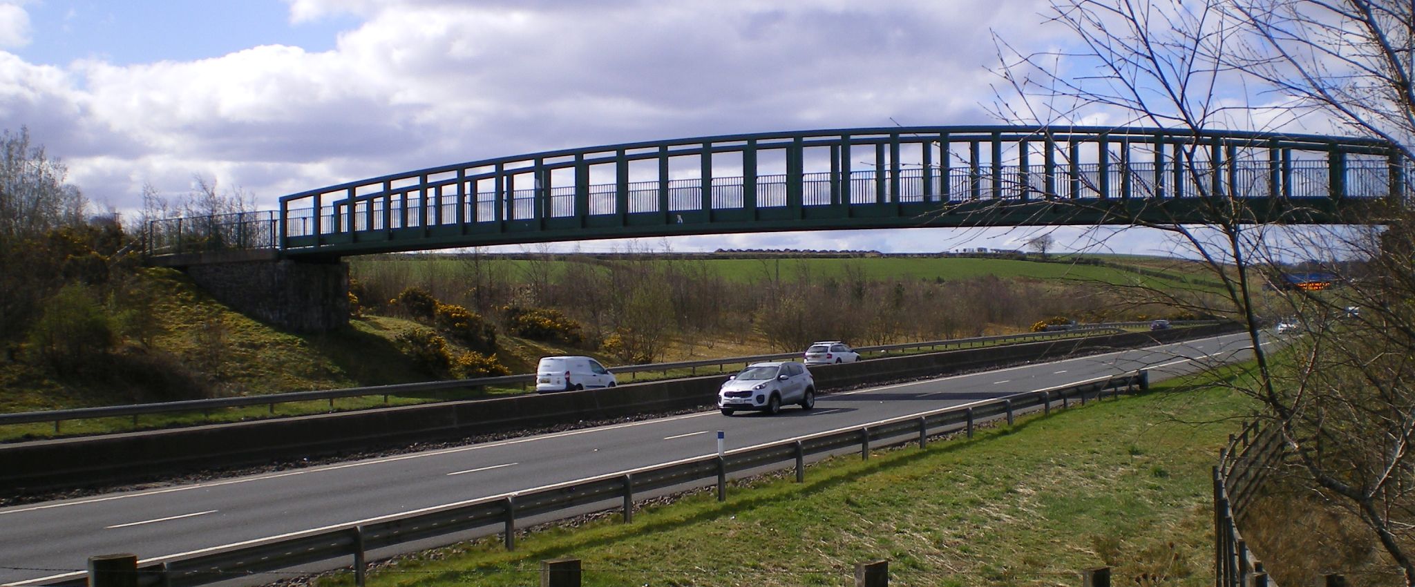 The
Burnbrae Bridge
carrying the Strathkelvin Railway Path over the M80 |
 |
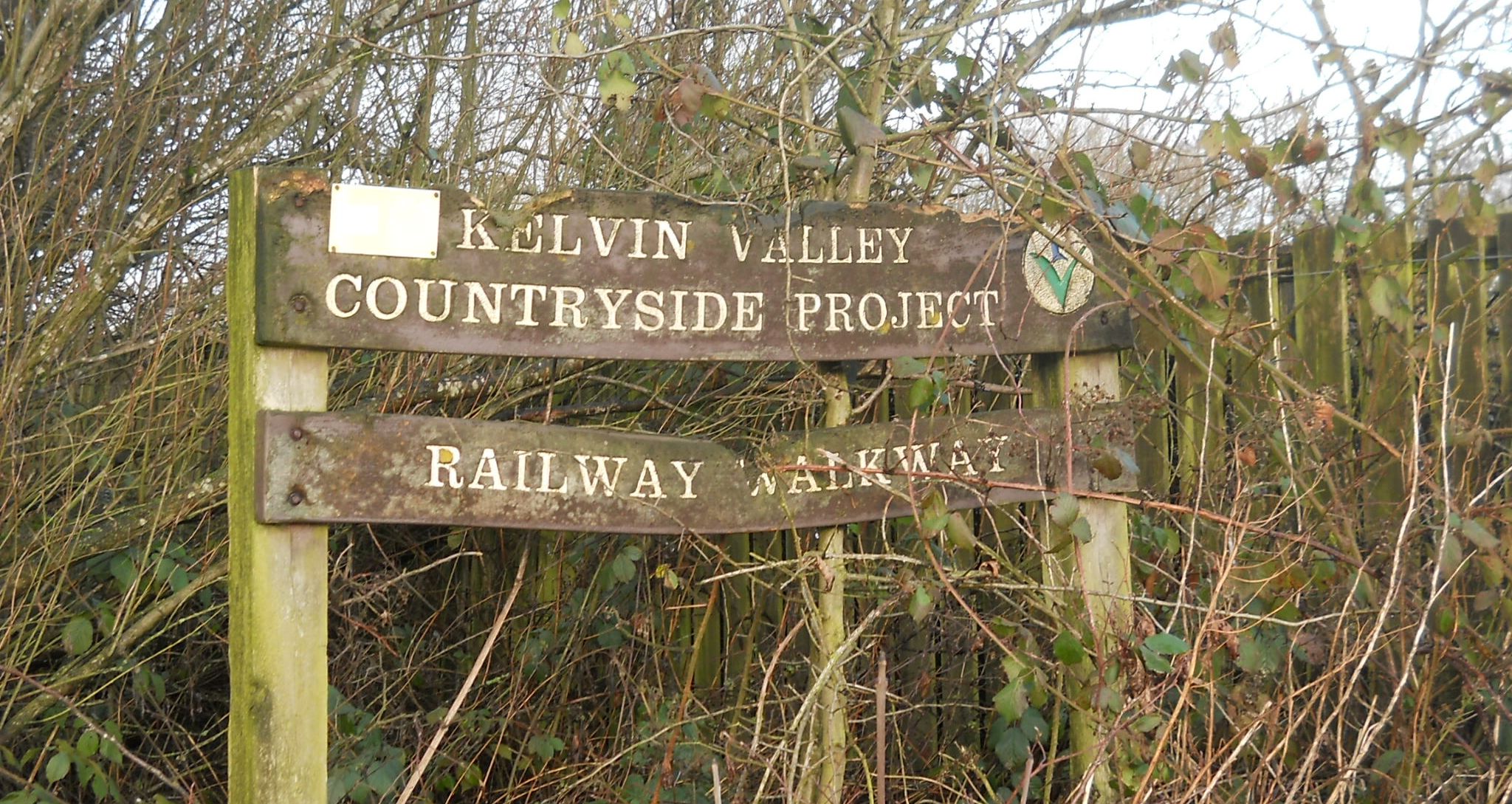 Signpost
on the Strathkelvin Railway Path |
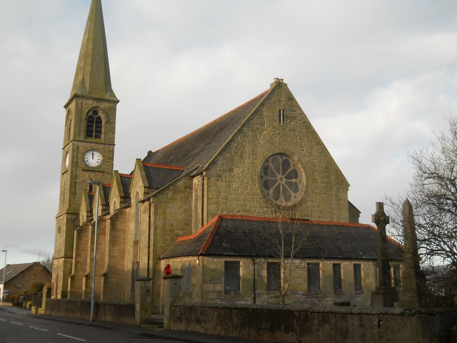 The
Parish Church
at Chryston |
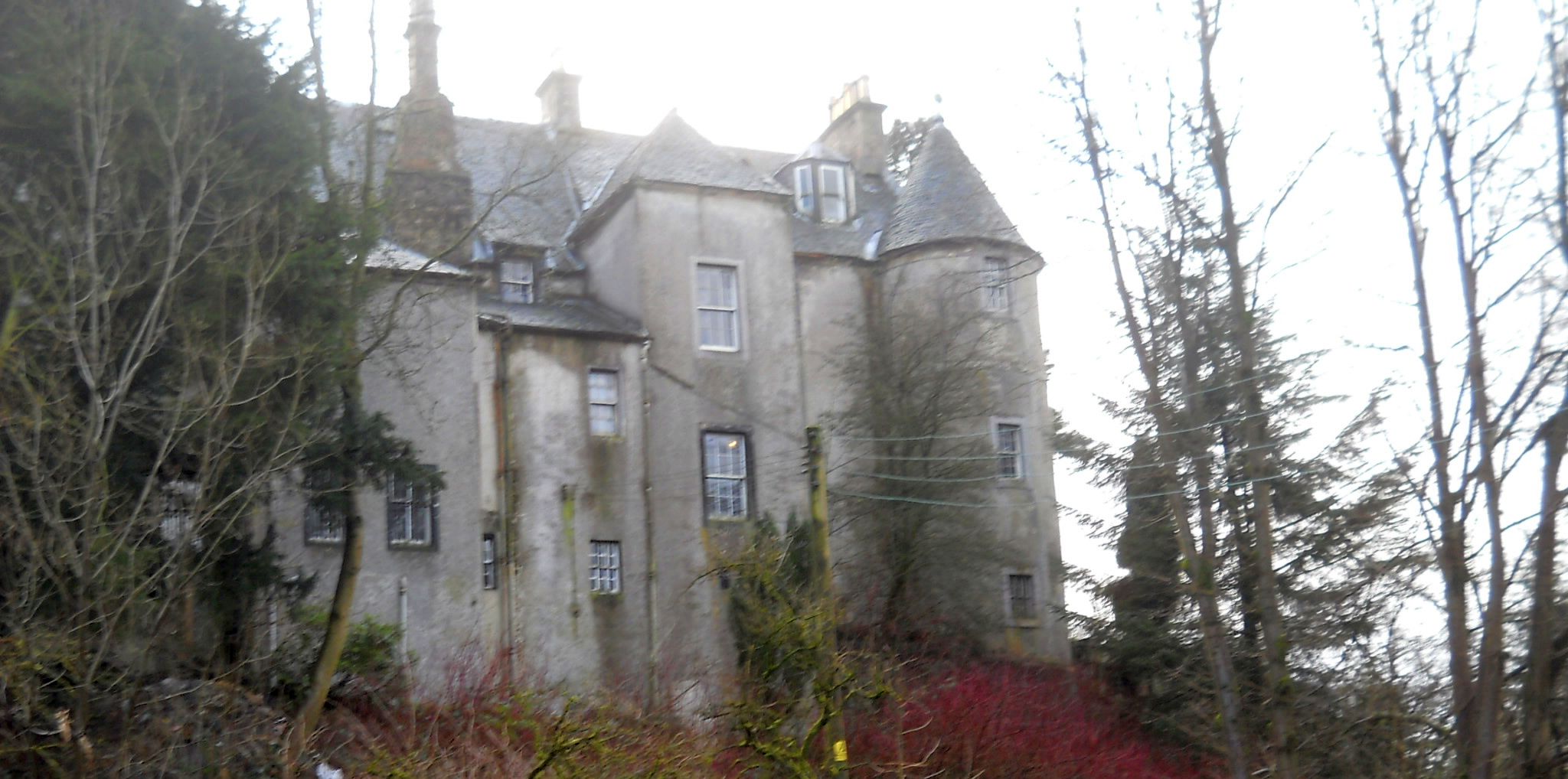 Bedlay
Castle at Chryston
Bedlay Castle is a former defensive castle dating from the 16th and 17th centuries |
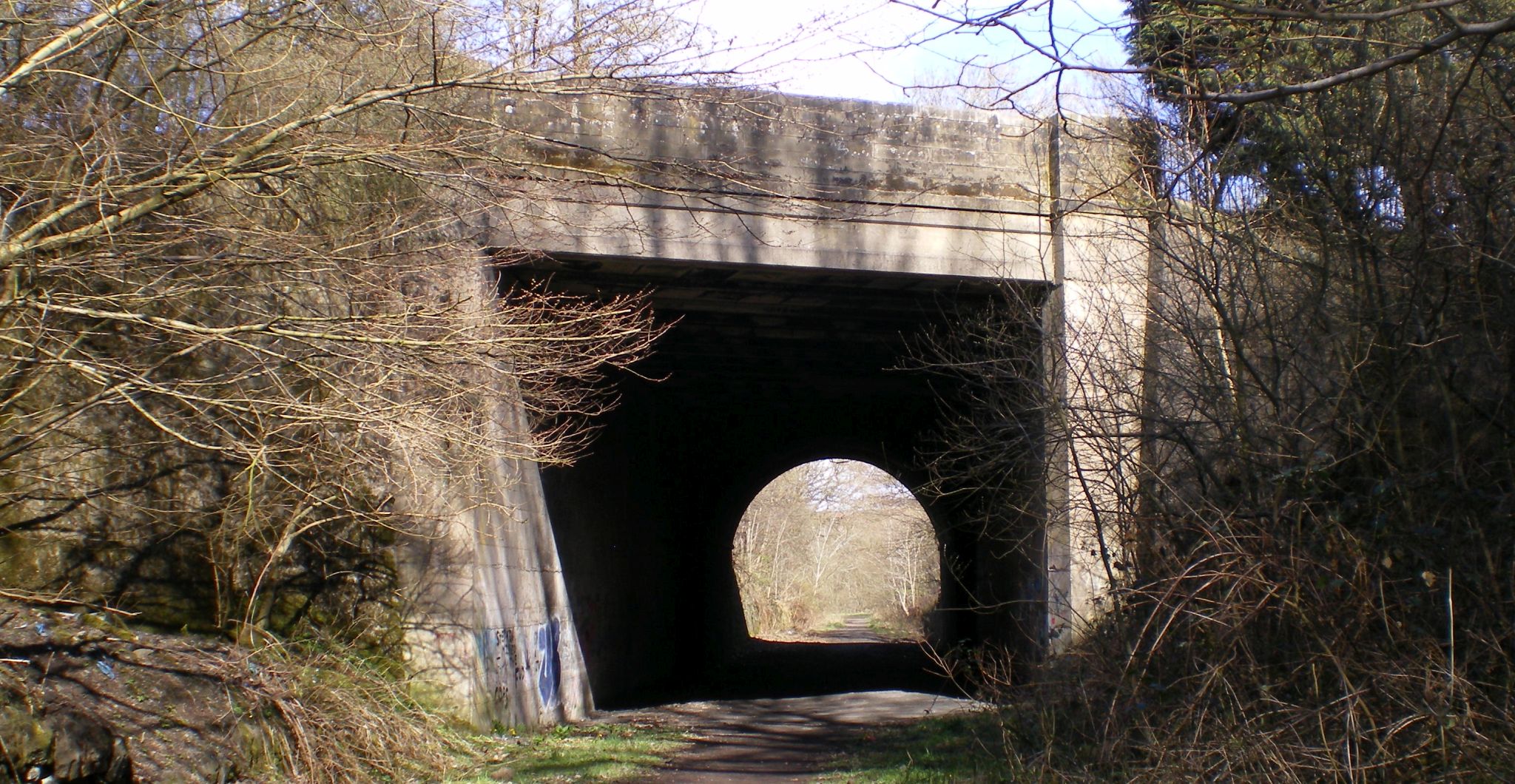 Bridge
on A80 at Moodiesburn
on the Strathkelvin Railway Path |
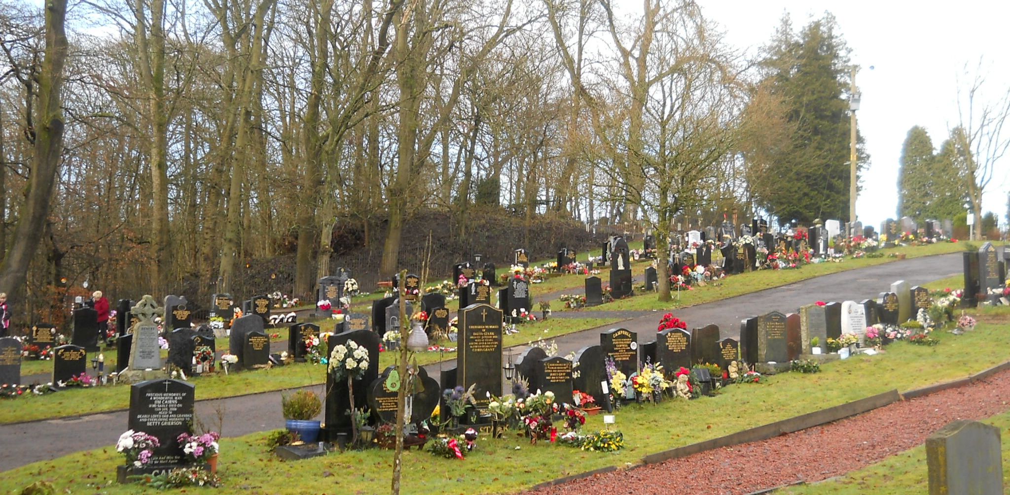 Bedlay
Cemetery at Moodiesburn
from the Strathkelvin Railway Path |
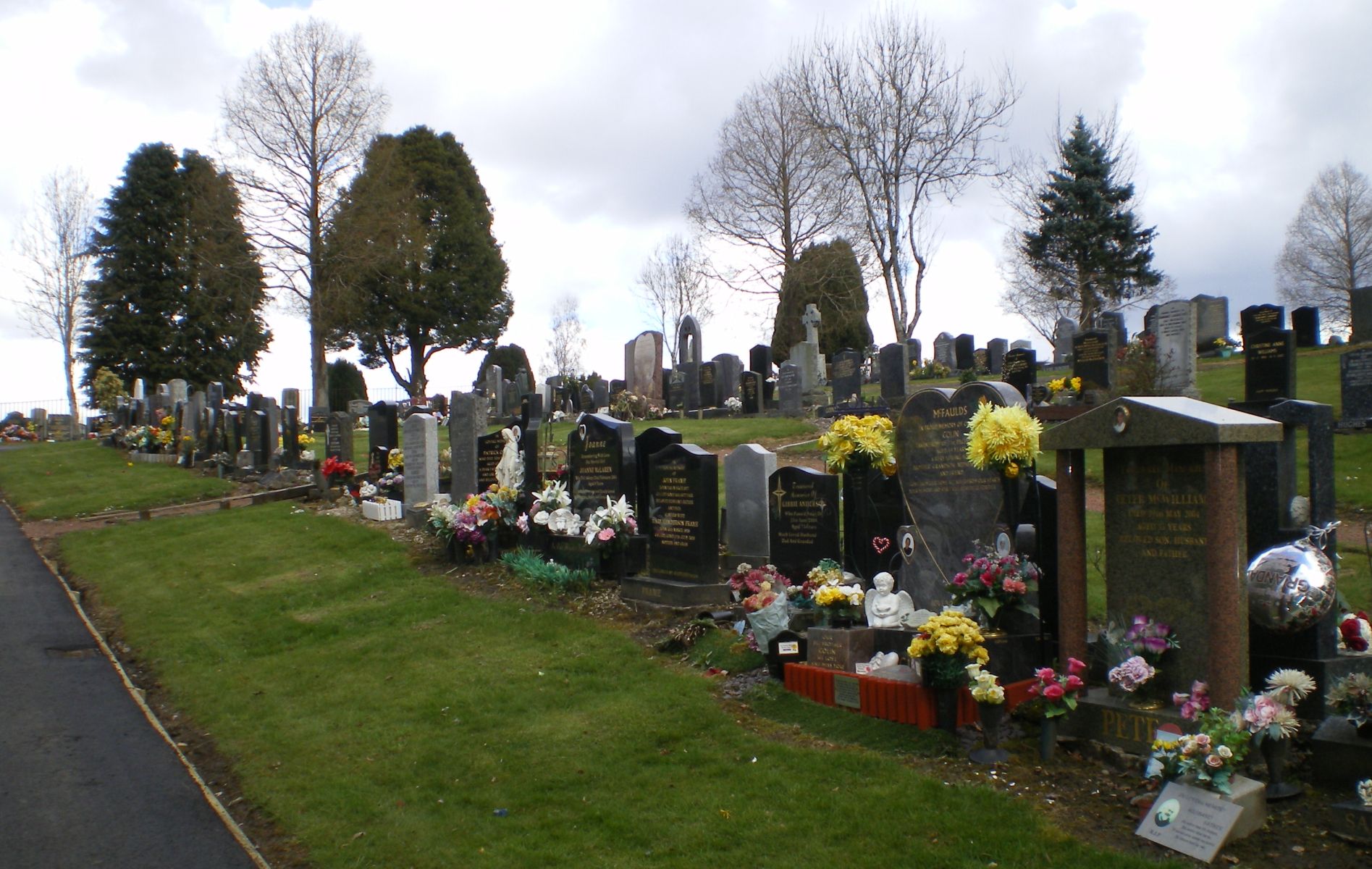 Bedlay
Cemetery at Moodiesburn
from the Strathkelvin Railway Path |
 The Strathkelvin
Railway Path
at Avenuehead Road |
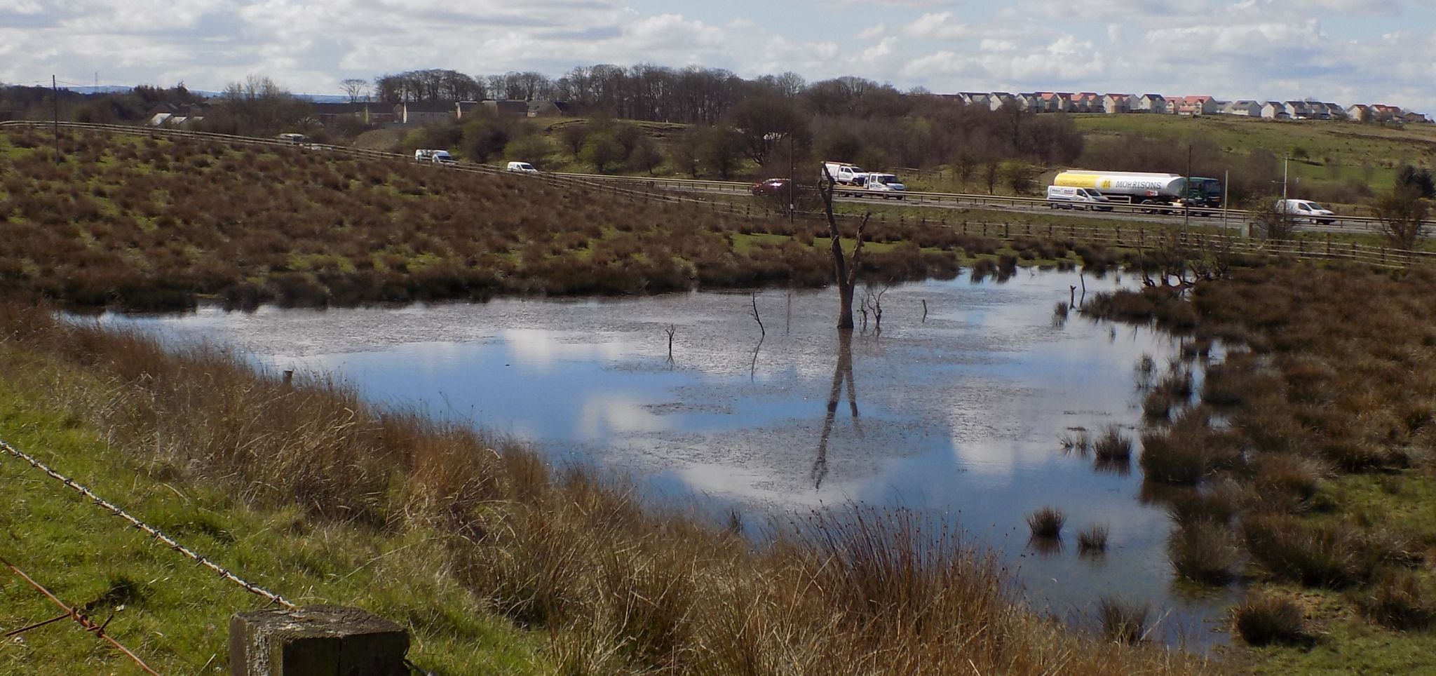 Quarry
Loch
on route to Gartcosh |
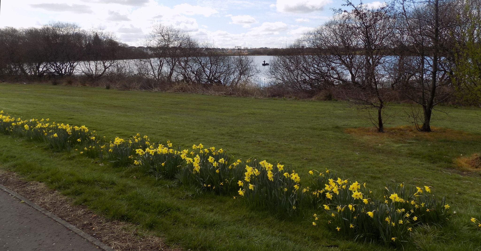 Johnston
Loch
at Gartcosh |
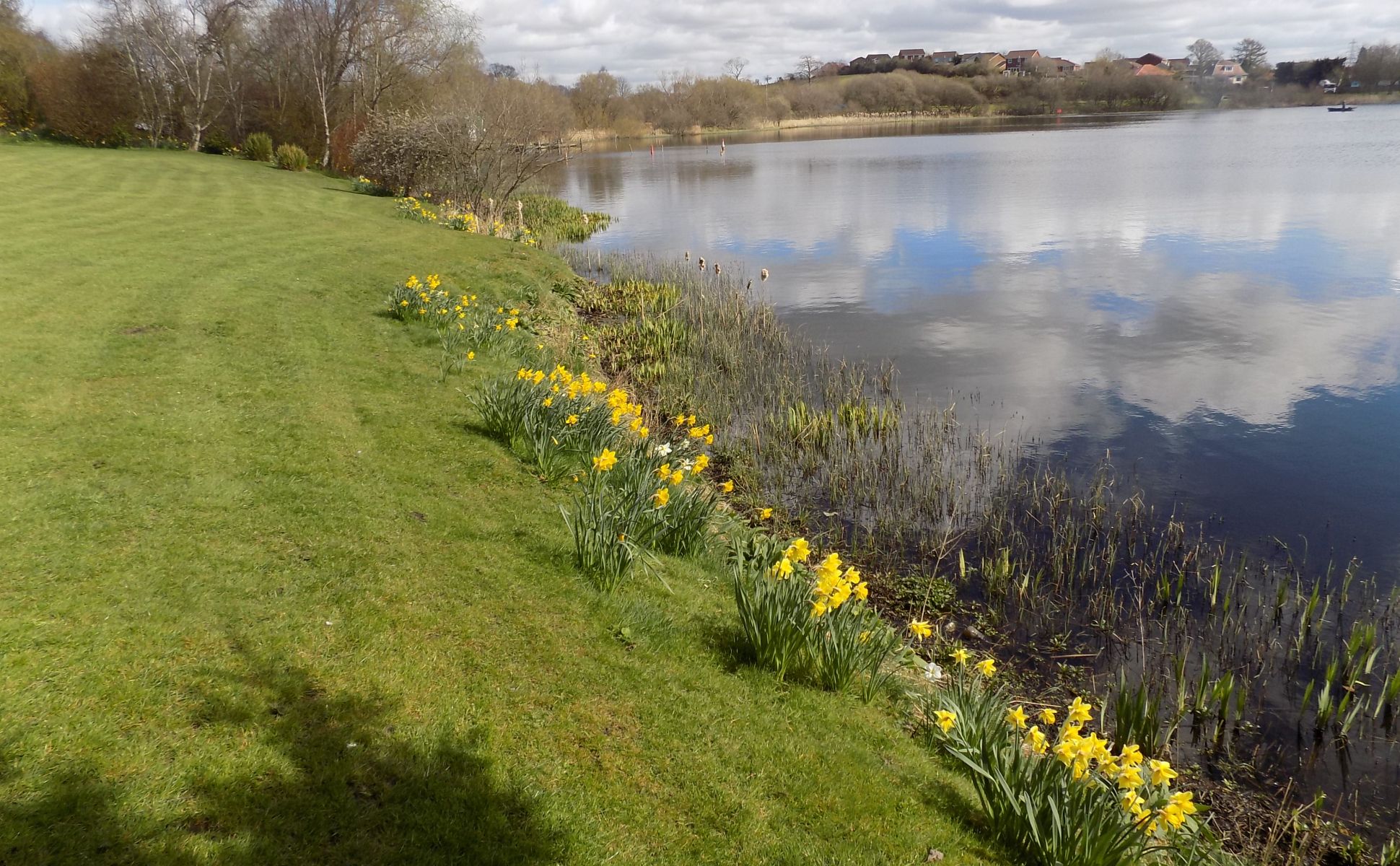 Johnston
Loch
at Gartcosh |
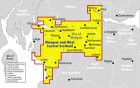
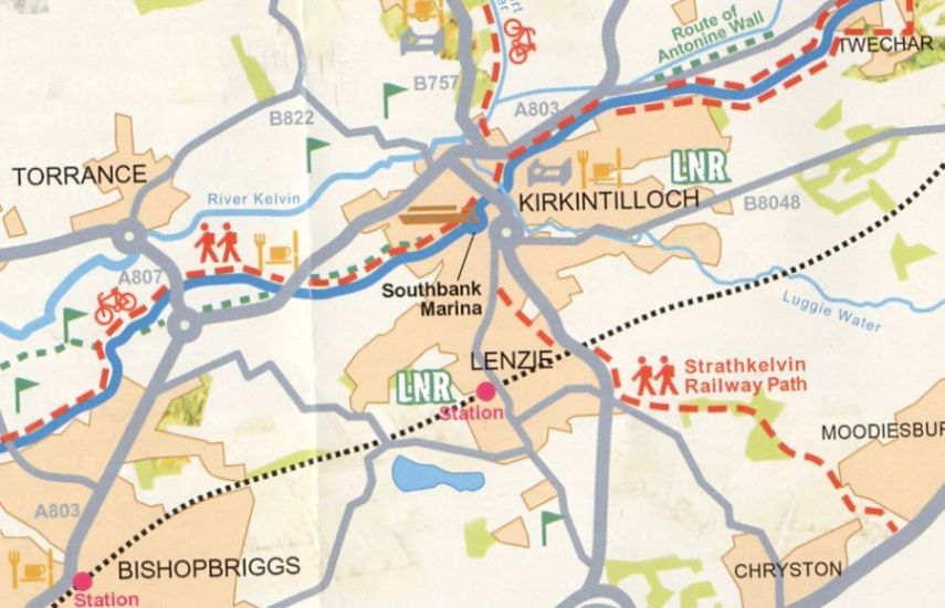 Map of
Strathkelvin Railway Path
from Lenzie to Moodiesburn |
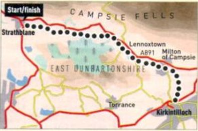 Route
Map
of the Strathkelvin Railway Path |
STRATHKELVIN RAILWAY PATH - ROUTE DESCRIPTION:
Location: Strathblane, Stirlingshire
Map: OS Landranger 64
Distance: 15 miles, ( 24km )
Tine: 1.5 hours
Terrain: flat; cyclepath
This excellent traffic-free cyclepath has been upgraded recently with a tarmac surface and provides a good cycling option, whatever the weather.
The path follows the trackbed of the former Gartness to Kirkintilloch Railway, which closed more than 40 years ago. It's practically flat and is ideal for young children.
Start from a small car park off the A891 by Strathblane, the Campsie Fells forming a pleasant backdrop on the left. Soon you'll reach a small rocky hill, Dunglass, on your right. This lump of basalt was quarried in the past - if you look closely you'll see columnar basalt forms, like those of the Giant's Causeway and Fingal's Cave.
Cycle on. by grassy fields, to Lennoxtown and Milton of Campsie.
Here, a plaque commemorates an early flight by the pioneering Italian balloonist Vincent Lunandi, who landed nearby in 1785 having launched from St Andrew's Square in Glasgow. His departure was watched by an excited crowd, one of whom was inadvertently lifted six metres off the ground before breaking free.
From the village the route swings south, running by the Glazert Water, to Kirkintilloch, where it links with the Forth and Clyde Canal.
Follow the cyclepath as far as you like, safe in the knowledge that the Kirkhouse Inn by the start in Strathhlane will provide a welcoming return.
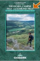
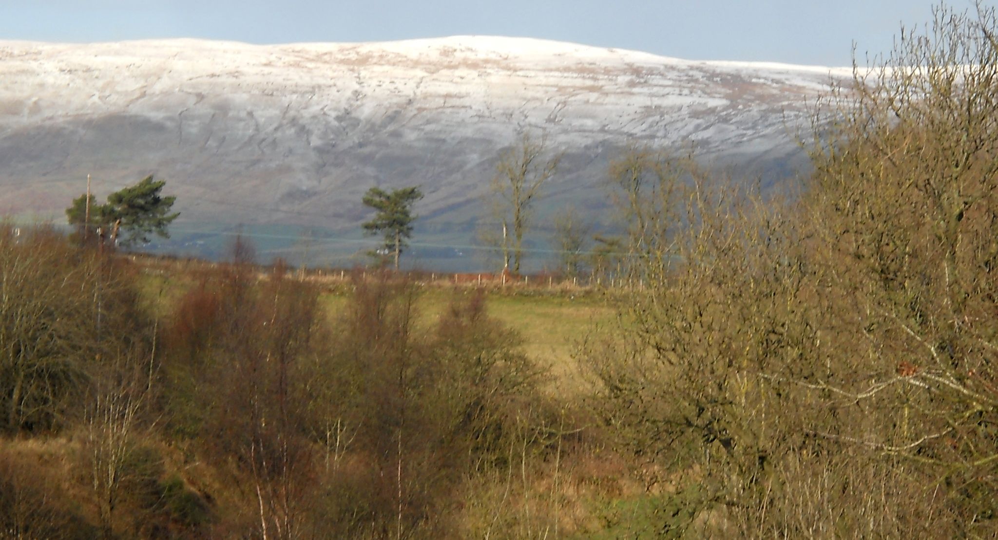
 :: Campsie
Fells
:: Campsie
Fells 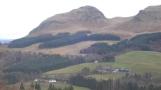
Glencoe | Ben Nevis | Knoydart | Isle of Skye | Isle of Arran
The Eastern Highlands | The Central Highlands | The Southern Highlands | The NW Highlands