  |
Bearsden & DistrictStrathkelvin Railway Path |
  |
| |
Bearsden & DistrictStrathkelvin Railway Path |
|
 |
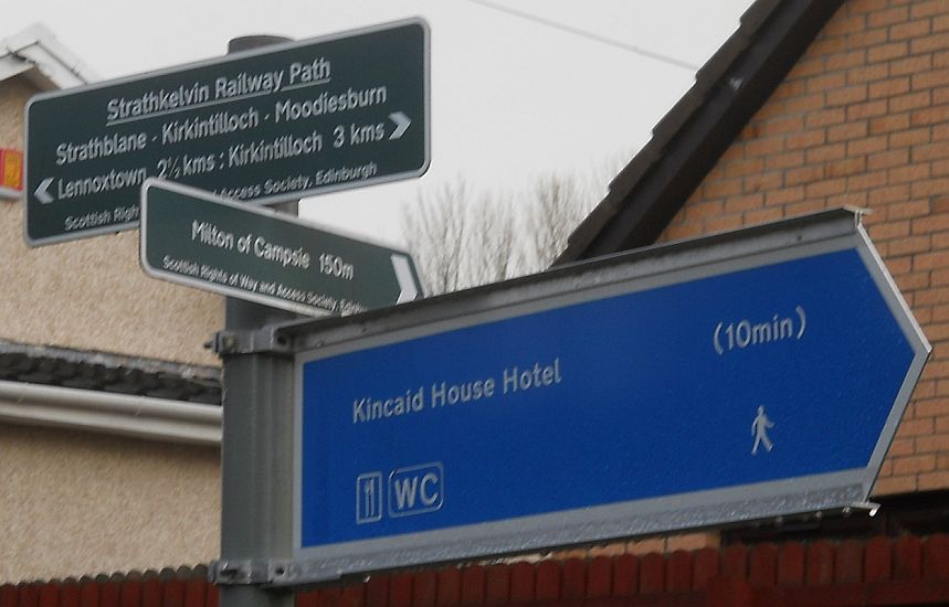 Signpost
at Milton of Campsie |
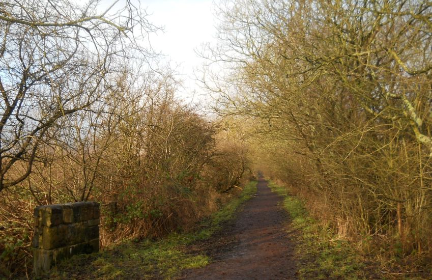
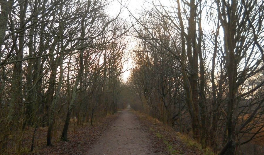 The Thomas
Muir Trail / Strathkelvin Railway Path
from Milton of Campsie to Kirkintilloch |
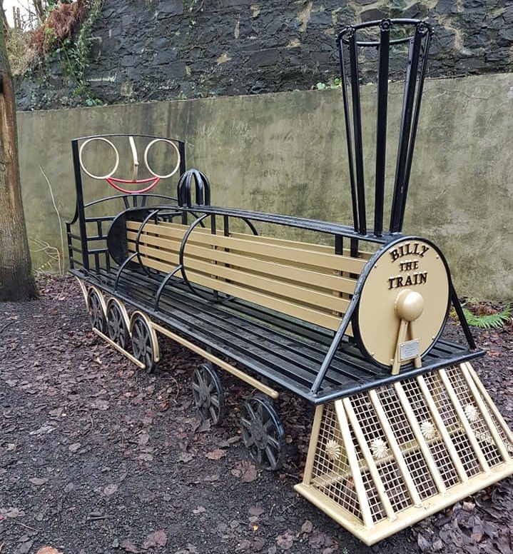 Ornamental
Bench
on the Thomas Muir Trail / Strathkelvin Railway Path |
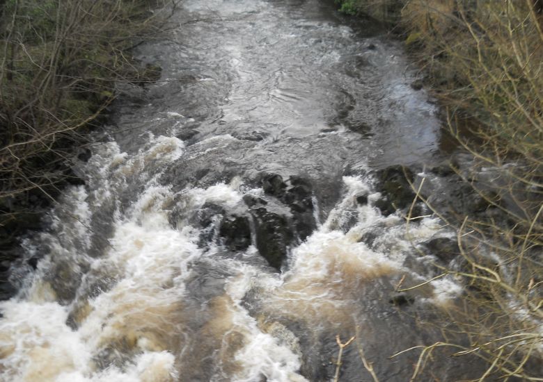
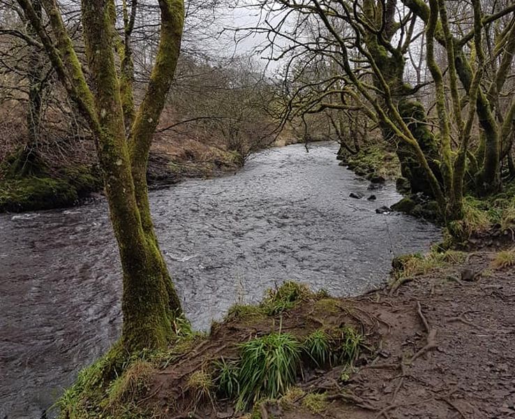 Glazert
Water
on the Thomas Muir Trail / Strathkelvin Railway Path |
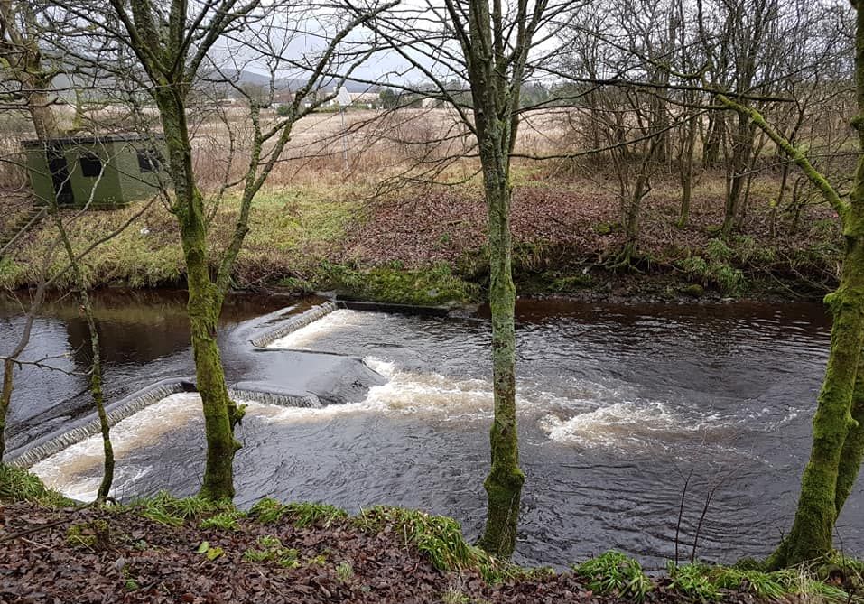 Weir
on the Glazert Water
on the Thomas Muir Trail / Strathkelvin Railway Path |
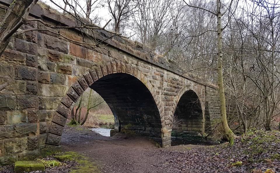
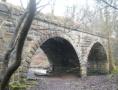
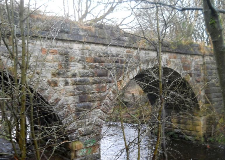 Bridge
over the Glazert Water
on the Thomas Muir Trail / Strathkelvin Railway Path |
 Bridge
over the Glazert Water
on the Thomas Muir Trail / Strathkelvin Railway Path |
 |
 |
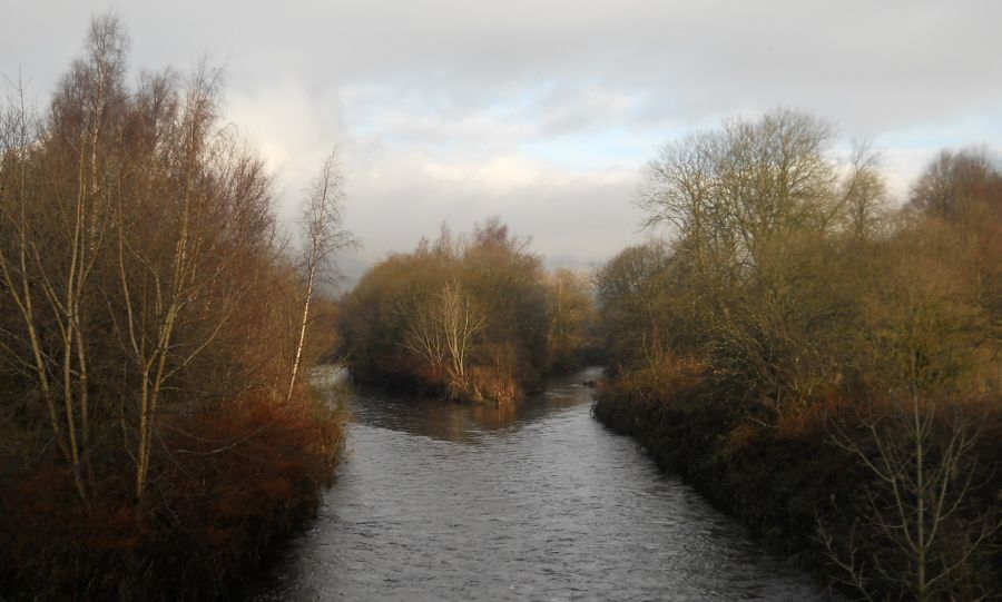 Confluence
of the Glazert Water
and the River Kelvin from the Thomas Muir Trail / Strathkelvin Railway Path at Kirkintilloch |
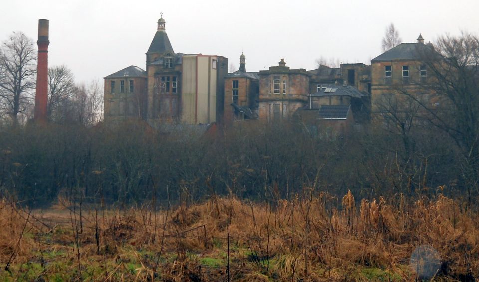 Broomhill Hospital
from Strathkelvin Railway Path |
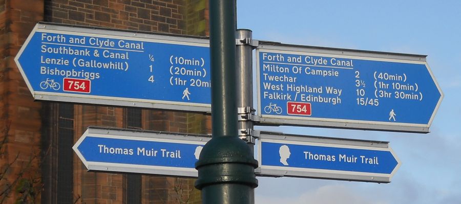 Signpost
in Kirkintilloch
|
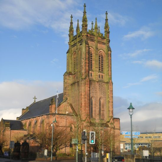 Saint
Mary's Church in Kirkintilloch
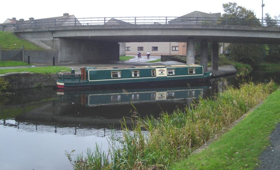
Kirkintilloch is on the Forth and Clyde Canal, some eight miles northeast of Glasgow. Kirkintilloch is the administrative centre of East Dunbartonshire. |
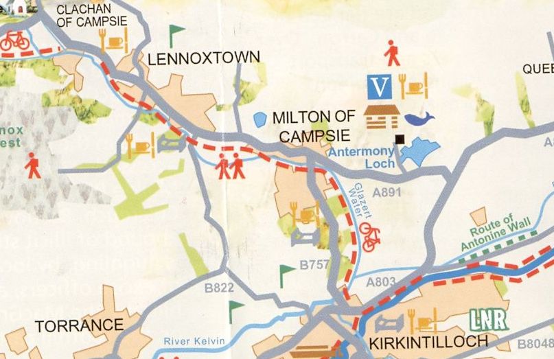 Map of
route
from Milton of Campsie to Kirkintilloch |
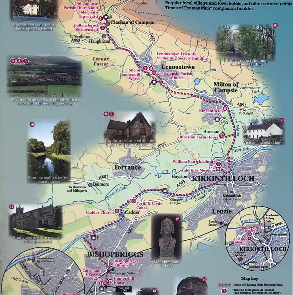 Map of
Thomas Muir Trail
from Milton of Campsie to Kirkintilloch |
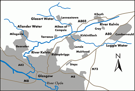 Map of
Glazert Water
and the River Kelvin |
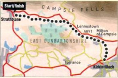 Route
Map
of the Strathkelvin Railway Path |
STRATHKELVIN RAILWAY PATH - ROUTE DESCRIPTION:
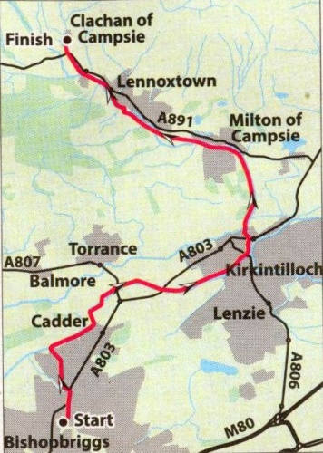 Map of
the Thomas Muir Trail
/ Strathkelvin Railway Path |
THOMAS MUIR TRAIL / STRATHKELVIN RAILWAY PATH - ROUTE DESCRIPTION:
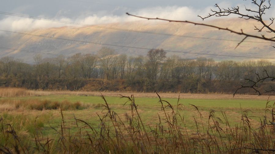
 :: Campsie
Fells
:: Campsie
Fells 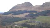
Glencoe | Ben Nevis | Knoydart | Isle of Skye | Isle of Arran
The Eastern Highlands | The Central Highlands | The Southern Highlands | The NW Highlands